
Verified View Surveys
Survey Control for Planning Visuals
Get a Free Quote From Us Today!
We aim to get back to you in 24 hours.
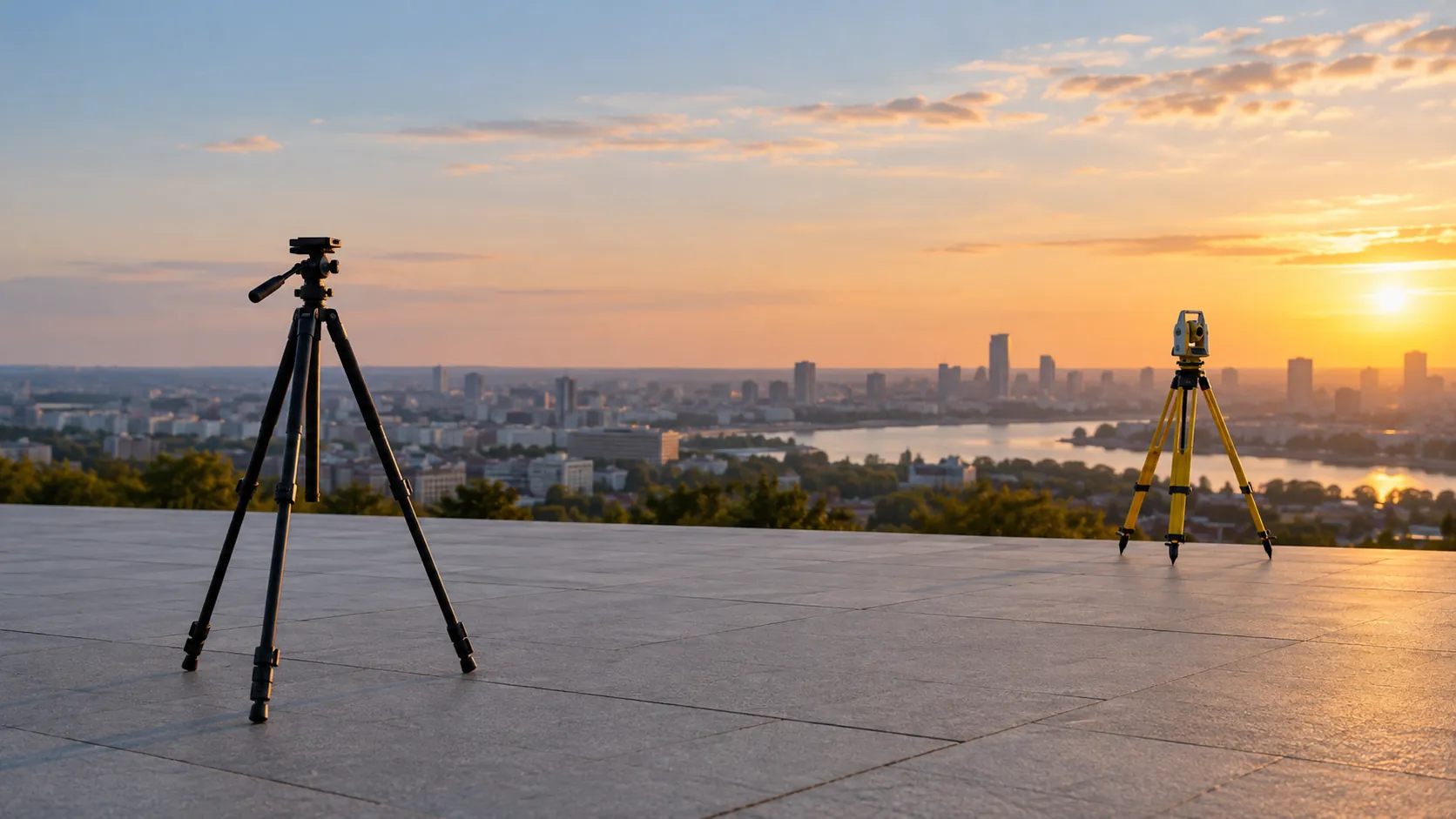
At Verified View Surveys, we specialise in precise site surveying that supports verified photography, photomontages and Accurate Visual Representation (AVR) production. Our expertise ensures survey control and viewpoint information is established, allowing proposed developments to be accurately depicted in planning visuals.
Although our name suggests a broad reach, we are committed to delivering high-quality surveys for each project. Contact us today to discuss how we can assist your development.
Who Is Verified View Surveys?
We are a dedicated team at Verified View Surveys, focused on providing meticulous site surveying services to ensure accuracy in planning visuals. Our specialists establish precise survey control using advanced geodetic instruments, such as total stations and GNSS receivers, to gather critical viewpoint information required for verified photography, photomontages, and AVR production.
We adhere to industry standards, including those set by the Royal Institution of Chartered Surveyors (RICS), ensuring your project aligns with legal and technical requirements.
Our extensive experience extends across commercial developments, residential properties, and infrastructure projects, addressing the unique challenges of each. We often work on tight planning deadlines, providing timely and precise data essential for successful planning applications.
For clients seeking reliable support in visualisations, we provide the technical foundation crucial for achieving planning consent and ensuring project viability.
What Services Does the company Verified View Surveys Provide?
At Verified View Surveys, we offer a range of surveying services designed to support the creation of accurate planning visuals for architects, developers, and urban planners.
- Site Surveying: We conduct detailed measurements and data collection using laser scanning technology and GPS equipment. Our methods adhere to RICS standards to ensure precision in all aspects of site evaluation, aiding in developing site plans and land registry compliance.
- Verified Photography Support: By establishing essential survey control points through total stations and photogrammetry, we ensure that visual representations are accurate for planning applications and environmental assessments.
- Photomontage Production: Our team provides the necessary data to seamlessly integrate proposed developments into existing landscapes. We use software such as Adobe Photoshop and AutoCAD to create realistic visual simulations, helping stakeholders understand the spatial impact and aesthetic outcomes.
- AVR Support: We offer Accurate Visual Representation (AVR) services that enable precise depiction of proposed projects. Our process supports planning visuals with high-resolution 3D models and accurate distance and height measurements, critical in urban planning and heritage site analyses.
These services not only enhance the precision of your planning visuals but also assist in securing approvals and community buy-in for your projects. If you need further information or would like to discuss your specific requirements, please get in touch with our team.
When Is Site Surveying Needed?
Site surveying by Verified View Surveys is vital when proposed developments require accurate integration into planning visuals. From urban planning applications to large-scale infrastructure projects, having precise survey data ensures that your development’s impact on the existing environment is correctly assessed and depicted.
For instance, during the construction of residential complexes or commercial buildings, site surveys help in analysing topographical data, soil composition, and natural drainage systems. Our surveys incorporate the use of theodolites and GPS technology for geolocation accuracy, which complies with RICS standards for precision in land measurements.
Additionally, when expanding infrastructure such as roads or railways, surveying is needed to evaluate any potential impacts on surrounding communities, taking into account factors like distance to residential areas and existing green belts. By integrating detailed 3D modelling and digital terrain modelling (DTM), we provide a picture of the site conditions.
Get a Free No Obligation Quotation Today
How Does Verified View Surveys Work?
Our process at Verified View Surveys is both thorough and methodical, ensuring consistent and reliable results:
- Initial Consultation: We begin with a assessment of your project. This stage involves discussing project objectives, constraints, and the intended use of verified viewpoints.
- Site Assessment: During the site assessment, our team conducts an on-site survey to establish survey control points. We use precision instruments such as total stations to accurately determine the site’s geographical parameters.
- Data Collection: Our surveyors capture precise measurements using both terrestrial and aerial methods. For larger sites, drone surveys provide aerial imagery that complements ground-based data collection, ensuring a holistic view.
- Data Processing: In this phase, we use advanced modelling software to analyse the collected data. Our team integrates these findings with Geographic Information Systems (GIS) to produce visual representations that meet industry standards like the Landscape Institute’s guidelines.
Our dedicated approach ensures accurate results tailored to meet your project’s specific demands. Get in touch today to learn more about how we can support your project with our verified view services.
Who Does Verified View Surveys Help?
We work with a diverse range of clients at Verified View Surveys, from architects and urban planners to developers and environmental consultants. Our services are essential for projects that require accurate visual representations to meet planning authority requirements and ensure transparency in development impact assessments.
We assist local councils with detailed visual impact analyses to aid in project approvals, and we serve heritage groups by providing precise imagery that helps preserve historic sites. Our work with renewable energy companies involves generating photomontages to assess viewshed impacts, facilitating informed decision-making.
We also engage with civil engineers, supplying them with reliable 3D modelling data crucial for infrastructure planning. By providing these comprehensive services, we address each client’s unique needs, enhancing their project’s effectiveness and success.
Reach out to explore how we can support your project.
How Quickly Can Verified View Surveys Respond?
Our team at Verified View Surveys strives to offer prompt support for your surveying needs. Upon receiving your enquiry, we immediately begin assessing project requirements and scope.
While response times can vary based on project complexity, we typically begin initial consultations within two to three days of enquiry. For more complex projects involving detailed topographical surveys or drone-assisted mapping, we may require additional preparation time to ensure accuracy and efficiency, but we remain committed to minimising any potential delay.
We use advanced software for efficient data processing and analysis, which further facilitates quick response times. By employing state-of-the-art tools, such as GPS and laser scanning technology, we ensure all surveys meet professional standards like those set by the Royal Institution of Chartered Surveyors (RICS).
This ensures that your project moves forward without unnecessary delays. Contact us today to discuss your specific requirements.
How Does Verified View Surveys Ensure Quality and Compliance?
At Verified View Surveys, we adhere to industry standards and integrate recognised best practices in our surveying processes. We employ advanced surveying equipment such as the Leica Total Station and GNSS systems to ensure pinpoint accuracy.
Our data collection methods include LiDAR scanning and photogrammetry, providing comprehensive models that reduce the risk of inaccuracies.
Our commitment to thorough data analysis involves rigorous cross-referencing against local planning regulations such as those set by the Royal Institution of Chartered Surveyors (RICS) and other relevant bodies. We produce detailed reports and visualisations that adhere to client specifications, helping facilitate approvals for complex projects.
To further enhance quality, we consistently update our methodology with the latest developments in surveying technology and ensure our team undergoes continuous training. Contact us today to discuss your project’s requirements.
Request a free quote
Why Choose Verified View Surveys?
Choosing Verified View Surveys means entrusting your project to a team that values precision and reliability. We specialise in a range of surveying solutions, catering to various client needs, from residential developers to commercial property owners.
Our services include:
- Experienced Team: Our team comprises highly skilled professionals with extensive experience in geospatial measurements, employing methods such as photogrammetry and laser scanning to ensure accurate site surveying.
- Advanced Equipment: We use the latest technology, including total stations and GPS equipment, for precise data collection that meets industry standards such as PAS 128 for underground utility detection.
- Client-Centric Approach: We offer tailored services to meet specific project requirements, ensuring that each survey aligns with client specifications and timelines, typically delivering results in two to three days.
- Industry Reputation: Known for providing reliable and verified data for planning visuals, we assist architects and planners by delivering comprehensive and site-specific information that supports informed decision-making.
Contact us today to discuss how we can assist with your survey needs.
Frequently Asked Questions
What is the significance of verified photography in planning?
Verified photography ensures that proposed developments are accurately represented in planning visuals, aiding in transparent and informed decision-making.
How does photomontage support urban planning?
Photomontages help planners and stakeholders visualise how new developments will integrate with existing environments, facilitating better planning outcomes.
Can surveying data be customised for unique projects?
Yes, at Verified View Surveys, our data collection methods are customised to meet the unique needs of each project, ensuring relevant and precise information.
Get a Free Quote
To find out how Verified View Surveys can support your project with precise site surveying, contact us today for a free consultation.
speak with our team today
What People are Saying About Us
★★★★★
“Such a friendly and helpful team at Verified View Surveys, and I felt looked after throughout. Really glad we chose them.”
Fiona Calloway
London
★★★★★
“Accurate viewpoint data and clear plans from Verified View Surveys, right first time. Really pleased.”
Charlotte Rahman
London
★★★★★
“We needed survey data for photomontages on a tight deadline. Verified View Surveys fixed each camera position with proper survey control and logged every detail in a clear schedule.”
James Kaur
London
★★★★★
“The people at Verified View Surveys were even better than I hoped, so responsive and careful. A joy to deal with from start to finish!”
Hannah Nolan
London
Our Locations
We are proud to work nationally across the UK, allowing us to ensure we can provide services to you.
For a full list of counties we cover in the UK, see below.